
Disaster & Preparedness
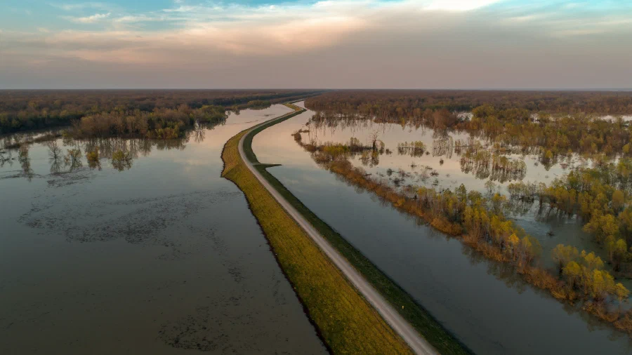
Mission-critical data solutions to improve disaster preparedness and situation awareness
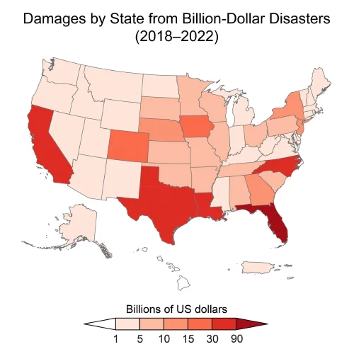
Risks from extreme events are increasing
In the 1980s, the country experienced, on average, one (inflation-adjusted) billion-dollar disaster every four months. Now, there is one every three weeks, on average. Between 2018 and 2022, the US experienced 89 billion-dollar events.
Extreme events cost the US close to $150 billion each year—a conservative estimate that does not account for loss of life, healthcare-related costs, or damages to ecosystem services.
Cascading and compounding impacts increase risks
The impacts and attendant risks associated with climate change often transcend sectoral, regional, and national boundaries. For example, wildfire in one region can affect air quality and human health in other regions, depending on where winds transport smoke. Further, climate change impacts interact with other stressors, such as the COVID-19 pandemic, environmental degradation, or socioeconomic stressors like poverty and lack of adequate housing that disproportionately impact overburdened communities. These interactions and interdependencies can lead to cascading impacts and sudden failures

“The US now experiences, on average, a billion-dollar weather or climate disaster every three weeks”
- 5th U.S. National Climate Assessment
To understand rapidly changing risks, new data approaches are needed
Understanding landscape impacts before disasters strike is essential for emergency response and disaster planning.
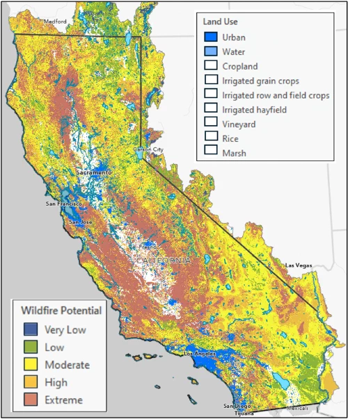
Earth Knowledge’s platform leverages advanced GeoAI to model hydrology, dynamic soil moisture, vegetation growth, species distribution, and other Earth systems—delivering a comprehensive, spatially resolved view of landscape risk.
Our clients use this intelligence to anticipate threats like flooding, inundation, debris flows, landslides, wildfires, and more—across any region of interest. With our Azure-optimized daily model, powered by GeoAI, projections can be made 5–10 days before major precipitation events and 1–8 weeks ahead of wildfire ignition conditions.
Our climate & nature partners









Benefits of the Earth Knowledge Disaster Preparedness Platform
Unmatched modeling capabilities

Integrate pre-emptive alerts with existing coordination platforms
Learn more about our disaster preparedness and emergency warning solutions
Our solutions have been designed in consultation with leading disaster and emergency management organizations within state/provincial and federal governments from across the globe. We understand every agency and geography is different, with unique challenges and data requirements.
To start a conversation, or learn more please click below;