
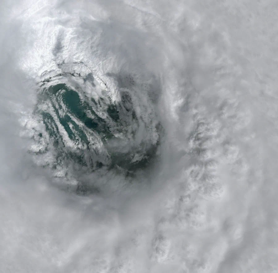
Enhance strategic planning and improve situational awareness for natural resources agencies and partners
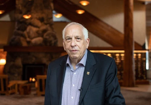
Dr. Don Wuebbles, Director of Climate Science, Earth Knowledge. Formerly President Obama’s Director of Climate; Lead IPCC author; shares Nobel Peace Prize & NOAA Advisory Board Member
“Earth Knowledge provides state of the art science with a Systems of Systems approach that gives us a very unique, highly comprehensive solution for climate, nature and environmental risk management to maximize infrastructure, asset and therefore, community resilience.”
Climate & nature-based data solutions to proactively understand changes on your landscape
Water Supply
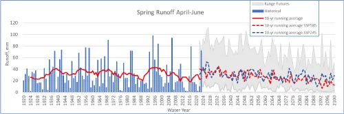
Model and project surface, snowpack and groundwater water supplies. Simulate prior water year conditions on current inventories or apply new variables.
Leverage data to optimize reservoir operations (FIRO & non-FIRO reservoirs) and see indicators of drought earlier in the water year and activate drought mitigation plans sooner.
Availability: Monthly or daily updates. 250m-50m spatial resolution.
Wildfire
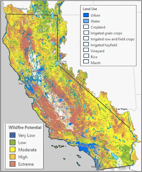
With a model base grounded in hydrology, live soil moisture, vegetation growth and types, soil types, evapotranspiration and other earth system data, Earth Knowledge Wildfire Potential and Live Fuels Moisture datasets are necessary additions for agencies tasks with maximizing ROI on fuels treatment.
Combined with the Earth Knowledge daily model tier, unmatched fuels data can be integrated with existing wildfire simulation and situational awareness platforms, greatly enhancing accuracy.
Availability: Monthly or daily updates. 250m-50m spatial resolution.
Extreme Precipitation Events
Leverage spatially-distributed data to understand inundation, flooding, debris flows and landslides risk and severity across your region 5-10 days before extreme precipitation events occur.
Optimized for atmospheric river-style precipitation, the Extreme Precipitation Events module can integrate seamlessly with existing Emergency Coordination platforms, such as Microsoft Team Emergency Operations Center.
Availability: Daily updates. 250m-50m (Urban Areas) spatial distribution. Requires Water Supply or Wildfire module.
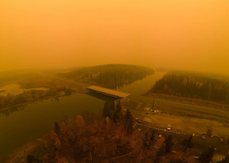
Earth Knowledge’s peer-reviewed models incorporate the cascading impacts of different earth systems. With this approach, we can project how changes in one earth system interacts with other subsystems to reduce or amplify the change.
Our climate & nature partners










Customer Spotlight - State of California
Application: Monthly Water Supply and Wildfire Potential (actual and projected)


Case Study: Earth Knowledge accurately projects 2024 summer California water & fire risks
Earth Knowledge in action:
- The State of California leadership teams responsible for climate projections, water supply and wildfire risk rely on the Earth Knowledge Twin for monthly forecasts and decision-making.
- Based on projections leveraging similar prior water year conditions, Earth Knowledge Twin indicated during Winter ‘23-’24 (Dec 2023-March 2024) that the north-western corner of the state had insufficient water supply (precipitation, soil moisture or snowpack) to mitigate key future risks.
- In early 2024, using the 2019 water year as a baseline climate scenario, Earth Knowledge Twin forecasted that this would eventually lead to high drought potential and high wildfire potential later on in the season.
- In April and May in the northwestern part of the state, landscape drought conditions began developing in areas defined by Earth Knowledge Twin.
- With a prolonged heat dome lingering over the west coast in June/July 2024, evapotranspiration significantly increased, creating live grass and ladder fuels. Upon ignition, California moved into an early fire season (typically September/October), similar to the 2020 water year.
In summary, Earth Knowledge Twin was projecting the potential for high landscape risk and wildfire potential in the northwestern part of the state as early as February 2024, facilitating proactive mitigation and fuels reduction strategies, as well as future anticipated water supply.
Unmatched data models
Data with purpose
Learn more about our government solutions
We understand the unique challenges faced by local, state and federal agencies in understanding the influence of climatic and nature change occurring in their jurisdictions. Our solutions offer comprehensive, authoritative insights into climate and nature-related physical risks.
To learn more;