
Why Is There 35 Inches of Snow in a Warming Climate?
By Dr. Don Wuebbles
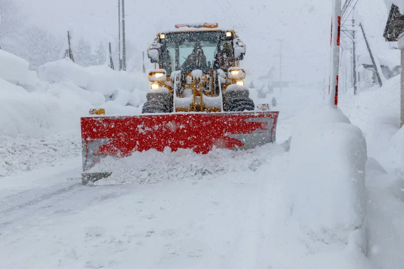
A large storm hit the U.S. Northeast in February 2026, resulting in as much as 35 inches of snow. How, you might ask, can this happen if the climate is warming?
Here are three things that help explain how both realities can be true at the same time.
1. There is a big difference between weather and climate. Mark Twain is attributed with saying, “Climate is what you expect, weather is what you get.”
The weather is the state of the atmosphere at a given time. For example, as I write this in the aftermath of the storm, it is about 25°F and cloudy in Illinois. One unusually cold day has nothing to do with whether the climate in your area is changing.
Climate is the average and statistical description of weather over long time periods, typically 20-30 years. Climate change, unlike weather, refers to long-term trends and changes in the temperature, precipitation, severe storms, and other parameters we generally associate with weather.
2. As the atmosphere warms, it can hold more water vapor.
There is a law of physics, discovered in 1824 and rediscovered a few decades later, known as the Clausius–Clapeyron Relation.
In practice, it means that for every 1°C increase in temperature, the air can hold roughly 7% more water vapor, a critical factor in studying storms and the effects of climate change.
More generally, it specifies the temperature dependence of pressure, most importantly vapor pressure, at a discontinuous phase between two phases of matter of a single constituent.
While this relationship may not lead to more atmospheric water vapor over very dry regions, in general, as the atmosphere warms where evaporated water is available, the atmosphere can hold more water vapor.
So, a warming climate and bigger storms can happen simultaneously.
3. With more warming, the atmosphere over the Atlantic can hold more water.
The massive snowstorm that affected the Northeast in February 2026 has been called a nor'easter, a blizzard, and a bomb cyclone.
- It is a bomb cyclone because it strengthened very quickly: the air pressure dropped more than 40 millibars in just 24 hours, a sign of explosive growth and stronger winds.
- It is a blizzard because it had winds over 35 miles per hour along with very low visibility.
- This storm was a nor'easter because it tracked along the East Coast, drawing in cold air and ocean moisture: the perfect setup for heavy snow. A nor'easter is named after the northeasterly winds that blow inland from the Atlantic Ocean.
With the overall warming occurring on our planet, the atmosphere over the Atlantic can hold more water vapor, further intensifying the storm compared to what we would have seen decades ago.
Meanwhile, regions east and south of the Great Lakes are generally warming, and the intensity of lake-effect snows can also increase because warmer air can hold more water vapor.
The bottom line.
Even as our climate warms overall, extreme cold weather events such as large snowstorms can—and will—still happen.