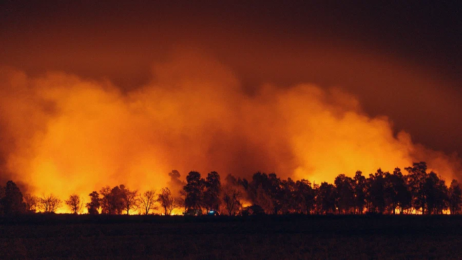
Earth Knowledge Wildfire
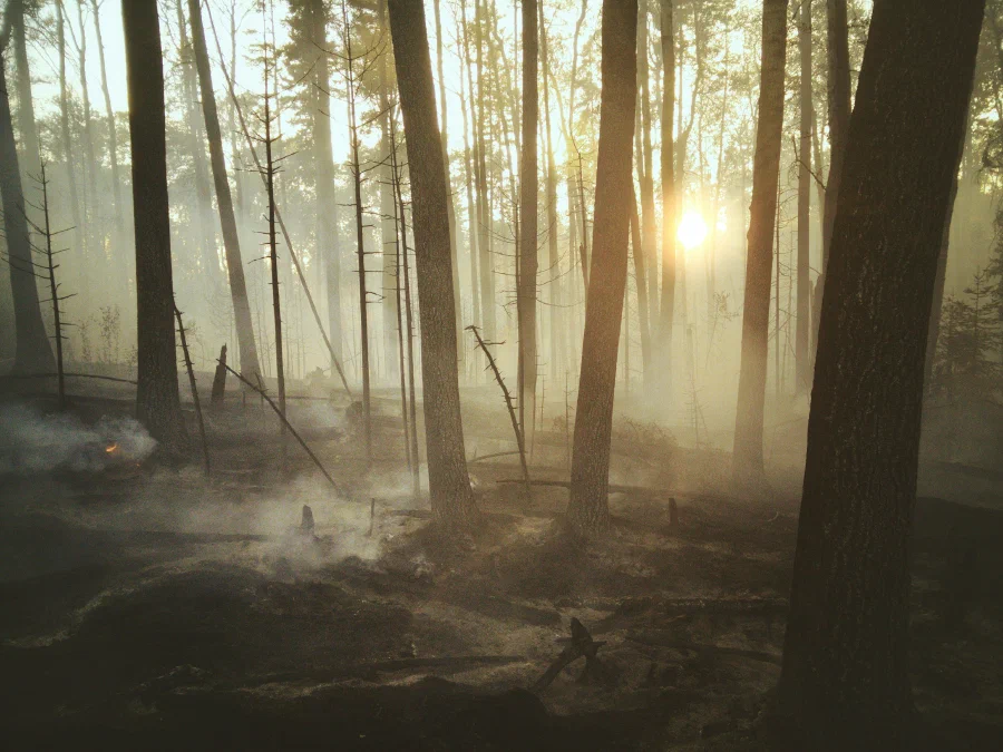
Improve community resilience with current and projected fuels and wildfire potential data
Video loop: Accumulation of wildfire potential in Lahaina, Maui (2023).
Note: Black line is resultant fire perimeter. Dark brown represents extreme wildfire potential.
Accurately assess & forecast wildfire potential & forestry health
Large regions. Fine scale.
Earth Knowledge Wildfire provides resource-management agencies with detailed wildfire-potential and forest-health data and information that identify current and future potential wildfire hotspots.
Monthly projections at virtually any locale on the planet can optionally be scaled to bi-weekly or daily, at spatial resolutions of 250m, 50 m, or finer.
Proactive, not reactive
A changing landscape
Landscapes aren't static. Neither should the models used to understand current and future conditions.
Built on our system/sub-system modeling approach, Earth Knowledge Wildfire incorporates changes to vegetation, burn perimeters, human development and other landscape changes.
This unique modeling approach provides insights into cascading impacts such as debris flows and landslides or more nuanced changes to biodiversity, streamflow or groundwater recharge.
Frank D’Agnese, Co-Founder & CTO
“It takes a tremendous amount of computing resource to model fuels and wildfire potential accumulation. This wasn’t possible 5-years ago. Now, with the help of world-leading wildfire agencies, we’re in a position to get ahead of rapidly increasing wildfires. ”
What’s included in Earth Knowledge Wildfire?
Tailored geographic coverage
Based on your coverage requirements, mission and goals, we can configure a custom geographic region for analysis. Grounded in hydrologic principals, modeled regions will include influencing watersheds to ensure the highest quality of data.
Access to experts
Certain communities may be subject to more extreme change than others. Our wildfire customers have direct access to a team of world-class hydrologists and vegetation and wildfire scientists to assist in operational planning, asset deployment and post-fire landscape response analysis.
Fast and flexible model refreshes
Our live data model can be refreshed monthly, bi-weekly or daily according to specific operational needs and time of year. With our predictive suite, 3-month, 6-month and 9-month forward facing models can be configured as required.
100-year model calibration period
For users of our projection capabilities Earth Knowledge calibrates specific wildfire models using ML and AI techniques and all available fire-perimeter data. Monthly calibrations are routinely performed to track and ensure model performance.
Convenient government procurement
Earth Knowledge Wildfire is available for government contracting via the Microsoft Azure Marketplace using standard marketplace terms and conditions and is MACC-eligible.
Mission-aligned integrations
Our wildfire data platform integrates with leading fire-planning, vegetation-management and fire-suppression tools. We’re also an ESRI and Microsoft-certified ISV partner. If you have a custom application, leverage the API-access module.
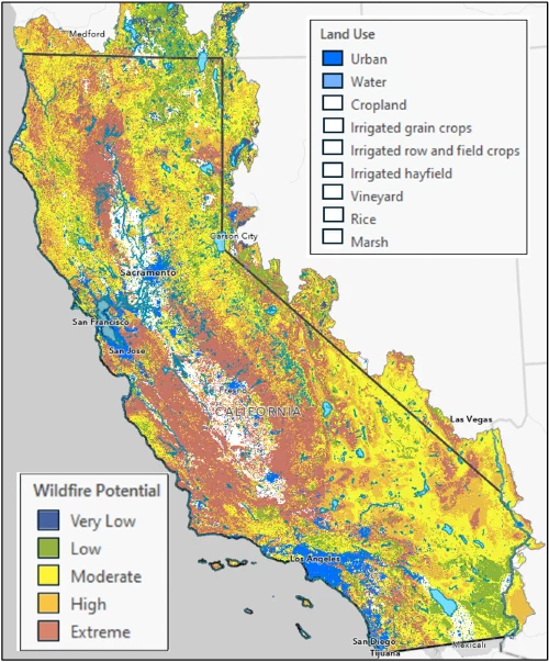
Unmatched data models
Our climate & nature partners







Available on the following marketplaces